The Chickasaw Villages by Stephen R. Cook

  • Home
  • Paper 1
    • Introduction
    • The Chickasaw Village Sources
    • The Village Location Keys
    • Remaining Village Locations
    • The Decades and the Villages
    • Abbreviations
    • Figures (Maps)
    • Slide Show - Current Village Locations
    • References
    • Sitemap
  • Paper 2
    • Glass Trade Beads Interviews
    • Database Fields: Artifacts
    • Database Fields: Glass Beads
    • Glass Bead Descriptions
    • Glass Bead Database
    • Glass Bead Sequence - A Beginning
    • Major Bead Types/Varieties Glass Bead Chronology
      Start/Finish
    • Glass Bead Sequence Major Bead Fields
    • Glass Bead Sequence Minor Bead Fields
    • Glass Bead Sequence Major & Minor
      Glass Bead Fields
    • Glass Bead Chronology An End, A Beginning
    • Glass Bead Chronology - Dating
    • Other Artifacts - Dating
    • Beads as Heirlooms
    • Bead Dating Conclusions
    • Other Factors - Appreciation
    • Paper 2 Figures
    • Paper 2 Tables
    • Paper 2 References
    • Sitemap
  • Paper 3
    • Introduction
      Interviews
    • Glass Bead Dates
    • Village Zone Areas(Review of the Figures)
    • Discussions
    • Conclusions
    • Paper 3 Figures and Table 1
    • References
    • Sitemap
  • Musings
    • d'Iberville's Villages
    • Little Coonewah Creek Village
    • James Adair's Trading House?
    • D'Artaguiette's Northern Force
    • Bienville's Southern Force
    • Cresnay (Crenay) Map
    • 18th Century Mortar
    • 18th Century Hand Mortar
    • French Distractions?
    • The Broutin Map 1743
    • Bienville's Revenge
  • In the News

Paper 1

Introduction

The Chickasaw Village Sources

The Village Location Keys

Remaining Village Locations

The Decades and the Villages

Abbreviations

Figures (Maps)

Slide Show - Current Village Locations

References

Sitemap


In the News

Sitemap

Present day site of Tchichatala, De Cresnay 1733 - The Territory Between the Chattahoochee and Mississippi Rivers and a Woodcut Bust of a Chickasaw Warrior by Bernard Romans

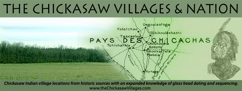
Paper 1 - Figures (Maps)

Note: The figures below are used in reference throughout the text of The Chickasaw Villages paper. Clicking on the linked figure from the list below or in the text of any of the website pages will open a new browser window for the readers convenience.

Figure 1 Adair 1720 Villages Interpretive Map

Figure 2 1832 Chickasaw Cession Surveyors' Notes- Old Fields and Prairies

Figure 3 1832 Chickasaw Cession Surveyors' Notes- Roads

Figure 4 1832 Chickasaw Cession Surveyors' Notes-Swamps

Figure 5 Chickasaw Villages 1690-1710 Interpretive Map

Figure 6 De Cresnay 1733, "The Territory Between the Chattahoochee and Mississippi Rivers" (Swanton BAE 73 Plate 5)

Figure 7 De Cresnay 1733 Interpretive Map

Figure 8 De Batz 1737 "Plan and Situation of the Chickasaw Villages" (MPA IV 155)

Figure 9 De Batz 1737 Interpretive Map

Figure 10 Old Town 1740-1772 Interpretive Map

Figure 11 Purcell Map, part of circa 1770, "British Indian Trade" (Swanton BAE 73 Plate 7)

Figure 12 Collot Map, "The Chickasaw Country 1796-1800" (Swanton BAE 73 Plate 10)

Figure 13 Chickasaw Villages 1772-1800 Interpretive Map

Figure 14 Old Town Interpretive Map

Table 1 Chickasaw Village Name/Area Associations (Cook Table 1)

  • Facebook
  • Be sure to read "The Choctaw Villages" also written by Stephen R. Cook.
  • Email the Author

Hosting & Website Design by New Directives, LLC