The Decades and the Villages - 1710 -1720
Historical Overview
While the wounds of war were healing between France and England in Europe, in their southern colonies a cold war played out among their Indian allies. The Carolina English/Chickasaw slaving did not abate following Nairne's departure. The French noted Chickasaw slaving raids in 1711 (ISEUS 77) and coastal raids in 1713 (FLC 159). Bienville (MPA III 159) in 1711 conceded the Chickasaw to the English.
In 1711 Bienville (MPA III 159,161) complained to France of the lack of trade goods, cloth and guns in particular for his Indian allies. Bienville and the French took actions -they built forts: Fort Conde at Mobile in 1711 (MPA III 18), Fort Toulouse at the Coosa/Talapoosa rivers confluence in 1714 (MPA III 512), Fort St. Jean Baptiste at Natchitoches in 1714, Fort Rosalie at the Natchez in 1716 (MPA III 205) , Fort St. Joseph at the Tunicas in 1716 (MPA III 213), New Orleans in 1718 (MPA III 239), Fort St. Pierre at the Yazoo River in 1719 and Fort Chartres in 1720 (MPA II 183). These forts served to both protect French claims and hold their Indian allies as a place to conduct trade.
The Chickasaw slaving continued apparently unabated until the Yamasee War of 1715-16 interrupted the Carolina trading empire (Crane 162). The regional conflict immediately interrupted deer trade (Crane Appendix A) and curbed the English Indian slaving. While the Chickasaw protected their English traders (Crane 170), many lost their lives even among English allied Indian nations. Even Nairne, the Carolina Indian Agent, lost his life in the hostility (Crane 168). For Carolina's part, all trade was reorganized under more formal government control, and the Chickasaw were called to Charles Town in 1717 to swear their allegiance. At decade's end, the French from their new forts traded with their Indian allies and watched.
Village Locations
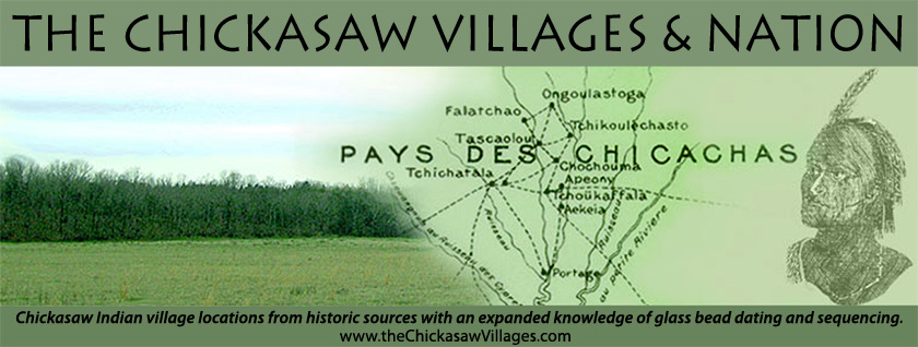
The Yamasee War would have been the stimulus to induce the satellite villages noted in 1690-1700 to seek the protection of the larger villages. In all likelihood they moved into one of the larger, nearer villages. The Chickasaw villages by mid decade looked as Adair had described them in 1720, Figure 1.
Figure 1 indicates a village location arrow for Shatara on the southwest side of Coonewah Creek and another on the north side. These villages in actuality were both called Tchichatala by the French as we shall see in the 1730-1740 decades. Note that the arrow locations indicate the center of these villages as the villages of this decade were expansive and miles long.